Keeping Western Australia's Great Southern great
Tuesday, 17 September, 2019
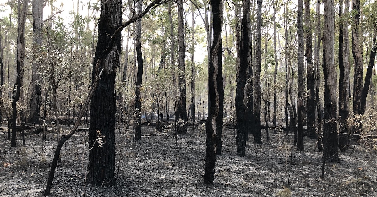
ELA’s Western Australia bushfire guru, Daniel Panickar, is well aware of the bushfire risks in the Great Southern Region of WA. Dan has identified the area councils of Denmark, Albany and Plantagenet as a particularly high-risk area.
“Unfortunately, small councils just don’t have the funding to implement the level of bushfire risk preparedness they’d like”, says Daniel.
“We have been working with a partner company in Albany on some standard bushfire projects and thinking of ways to help this community”.
Getting proactive, Dan and the team developed a scope of work to show the councils what would need to be done to build bushfire resilience into high-risk communities. The scope included bushfire models showing the potentially devastating effects a bushfire event may have on the community and potential proactive solutions to avoid such a disaster. These solutions included protecting old houses, upgrading access roads and informing locals and tourists how to stay safe. Directly using these recommendations, the Shire of Denmark, City of Albany and Shire of Plantagenet joined forces and put an application to the National Disaster Resilience Program (NDRP) for a grant to enact this much needed project. To their amazement they received $350,000 funding for the project.
“Being able to assist local government in high-risk areas, with such limited funding has been really humbling”, said Dan.
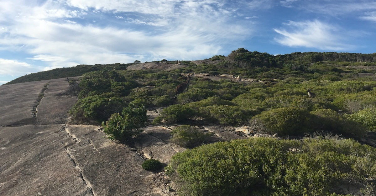
“They now have the resources to protect their beautiful coastal area, enjoyed by many in WA.”
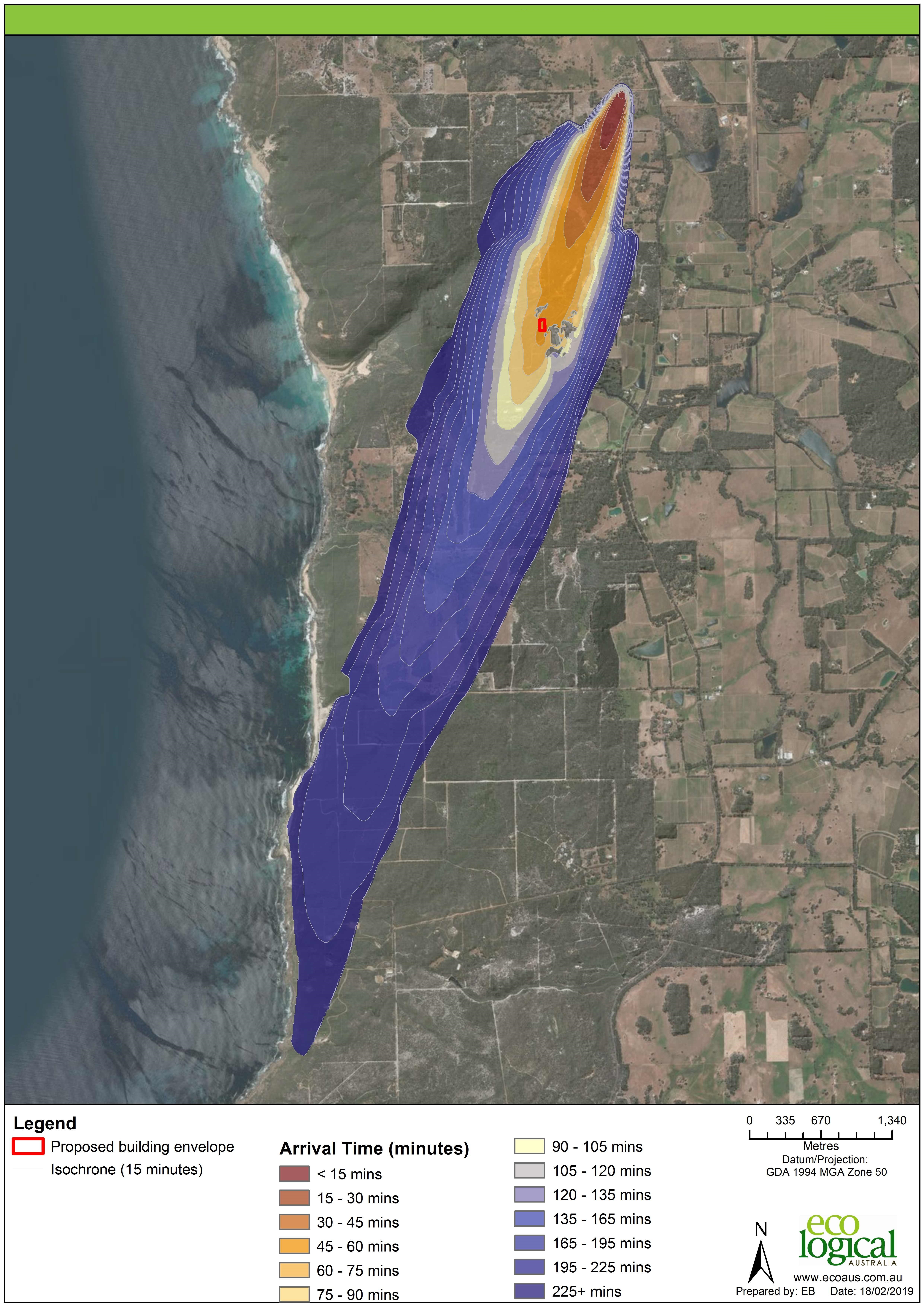
Now with the ability to scientifically assess bushfire risk, the first step will be to identify the vulnerable aspects of the existing communities in the region and weak spots in the bushfire access road network, assess the risk of particular areas and look for areas of community refuge in the event of a fire. On top of that, The ELA bushfire team will be able to unleash one of their secret weapons.
Over the past 5 years ELA have been testing and utilising a state-of-the-art software, developed by CSIRO, that can use weather and land data to map and model in high detail how a bushfire could start and how it would behave in the local conditions. This software will help them model all possible scenarios and identify a strategy for each.
Additionally, ground work to improve infrastructure has started, and they have distributed signage and flyers informing locals and tourists of the bushfire risk and how to avoid a fire and behave in the event of one.
“We have already started and plan to have all the recommendations done by the end of this year, with the plan to have a bushfire safe summer of 2020”, said Dan.