Eco Logical Australia use gaming tech to revolutionise vegetation mapping
Friday, 19 May, 2017
With advancements in technology comes the opportunity to expand all aspects of our professional lives. For Eco Logical Australia this has meant appropriating cutting edge gaming technology to remarkably improve vegetation mapping capabilities for their clients.
For those who aren’t in the know - current techniques for vegetation mapping include using a combination of 2D images, topographical maps and existing data. Using this traditional method, ecologists are able to identify patterns in the landscape that communicate what types of plant communities might exist. This information is then supported with onsite data collection through techniques such as gap filling; surveying 20x20 vegetation plots to create an inventory of the plants found, or rapid sites; recording data as vegetation changes along certain lines.
However 2D images have always had limitations. It can be difficult to see distinct differences in elevation and aspect. Ecologists are also limited in being able to interpret different structural classes of vegetation as it can be impossible to distinguish between mid-story trees or shrubs. Which leaves a significant amount of the mapping process to educated guesswork or more time required in the field.
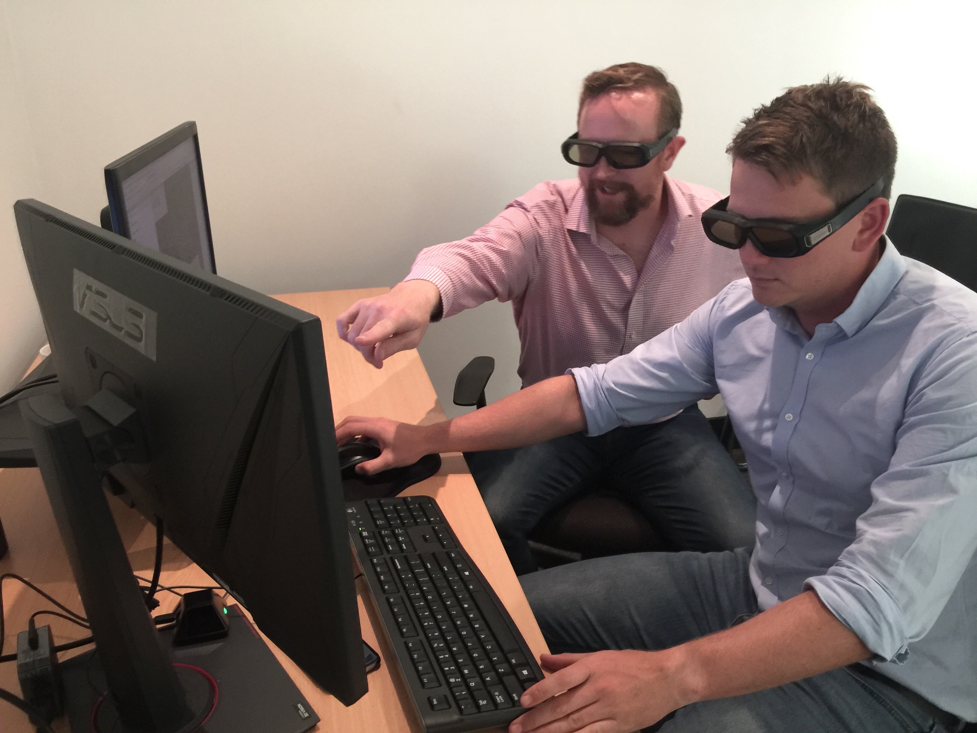
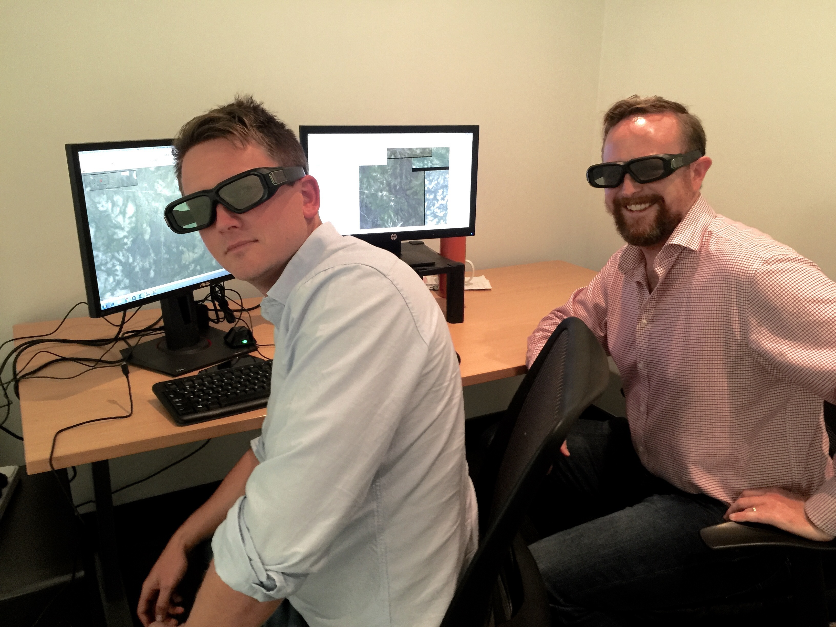
The recent rapid advancements in the gaming industry gave the innovative team at ELA’s Newcastle office an idea. By sourcing the latest 3D technology found in the entertainment industry and applying it to their mapping work, they are now combating many of these limitations. It may seem strange to find 3D glasses in an ecology office but Principal Ecologist and instigator for the project; Martin Sullivan says the results have been astounding.
The use of the 3D technology has given the ELA ecologists access to crystal clear visual representation of aerial landscapes. The ability to see distinct differences in topographical changes and detailed visuals of vegetation has revolutionised the quality of maps being produced by the ELA team for their clients. The technology is so advanced that ecologists are even able to see down to the level of shadows of individual trees.
‘Being able to identify fine details such as shadows is amazing. These are the types of details that may have previously been mis-recorded as vegetation,’ says Sullivan.
The benefits not only gives Eco Logical’s clients the highest quality maps but also provides greater clarity and understanding of the environment in general for their projects, as if they were seeing it on site themselves. The team at ELA is looking forward to the next way they can innovate for their clients, simply keen to stay ahead of the game.
'Tech is disrupting every industry’ says Sullivan. ‘This advancement means that our clients are better able to handle their Natural Resource Management. These types of projects are why we became ecologists”.