
Deanne Hickey
Operations Manager Sutherland & Wollongong I GIS Discipline Lead I Senior Environmental Senior Consultant
(02) 9574 8716 deanneh@ecoaus.com.auWith one of the most experienced natural resource GIS teams in Australia, we provide clients with tailored solutions in data provision, developing and implementing spatial data for project applications and effective management protocols.
We have expertise in the Environmental Systems Research Institute (ESRI) suite of products, from ArcGIS desktop to enterprise level solutions with ArcGIS Server. Additional expertise includes the ENVI software platform for data visualisation and analysis, MapInfo, AutoCAD, GRASS GIS (Geographic Resources Analysis Support System), ERDAS IMAGINE, MapGuide Open Source, Splus, PATN and Albero.
Our GIS and remote sensing capabilities have been commissioned by a range of private and government organisations around Australia, such as BHP Billiton, Natural Resources Commission, the NSW Office of Environment and Heritage, Stocklands and Gold Coast City Council.
We provide the following services:
Operations Manager Sutherland & Wollongong I GIS Discipline Lead I Senior Environmental Senior Consultant
(02) 9574 8716 deanneh@ecoaus.com.au
Regional Manager Victoria, South Australia, West Australia and Northern Territory I Principal Consultant, GIS
+61 8 8235 4198 adam.loader@ecoaus.com.au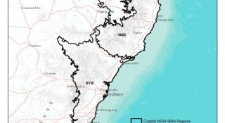
World Wide Fund for Nature-Australia (WWF-Australia)
Read more
Gold Coast City Council
Read more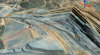
Moolarben Coal Operations Pty Ltd
Read more
Halcrow Pacific Pty Ltd
Read more