
Critical Habitat Mapping in Northern & Coastal New South Wales
World Wide Fund for Nature-Australia (WWF-Australia)
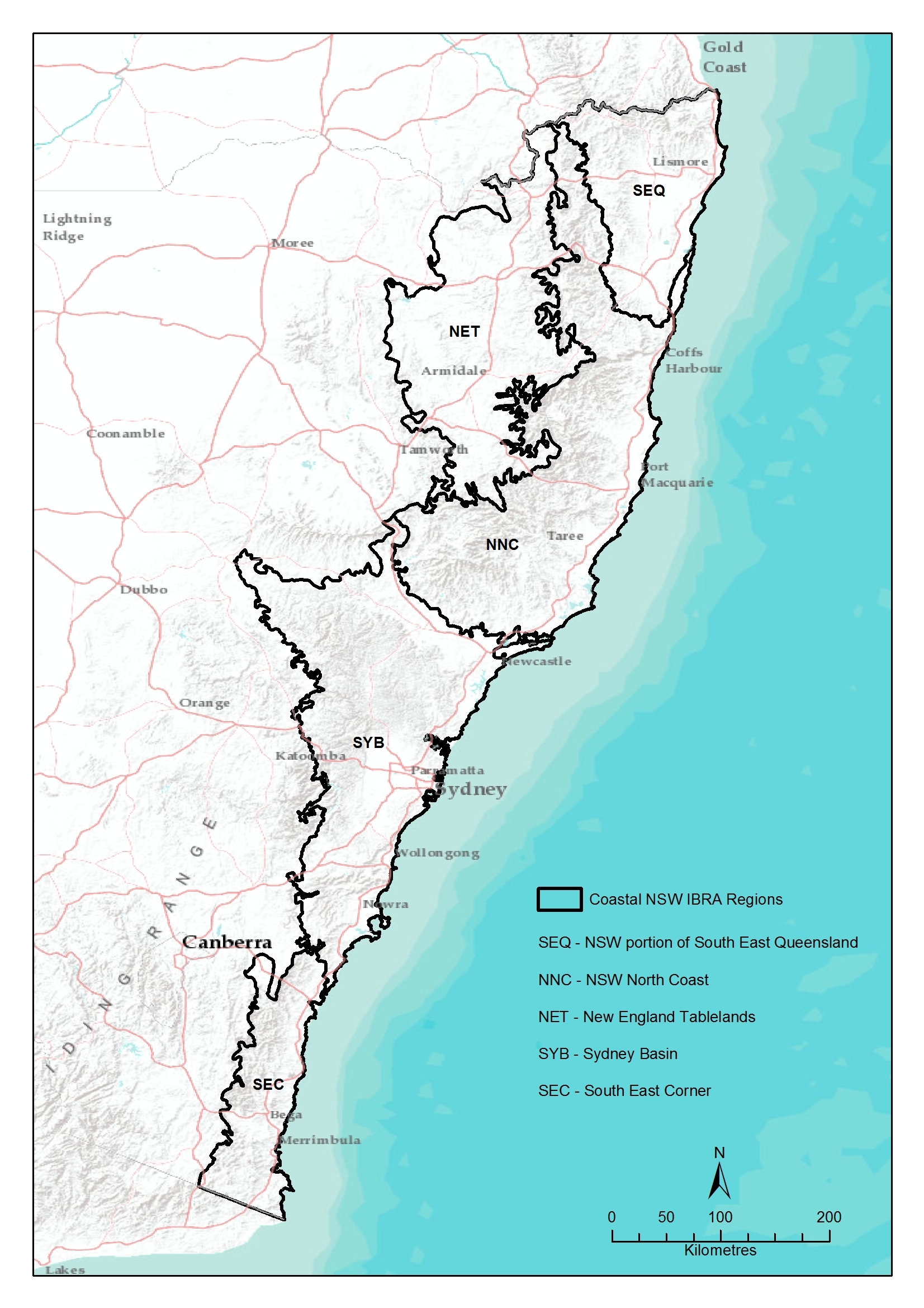
The World Wide Fund for Nature-Australia (WWF-Australia) contracted Eco Logical Australia (ELA) to create a comprehensive set of spatial datasets of biodiversity sensitivities and conservation values of coastal New South Wales. This map would summarize all values to create a unified critical habitat map for use in conservation projects.
ELA audited all existing datasets and compiled a suite of biodiversity and conservation criteria to include in the analysis. Many data layers were analyzed in order to determine the quality of each layer for attribution, spatial assessment, and accurate identification of high-value conservation areas. Criteria included in the analysis were high conservation value areas, protected areas, threatened species and their critical habitats, threatened ecological communities, and vulnerable lands (i.e. lands susceptible to erosion).
ELA then created a unified spatial dataset with a 25 m grid by combining the outputs of each analysis. This spatial dataset is a comprehensive map of all critical habitat in coastal New South Wales and will be used by WWF-Australia for future conservation projects throughout the region.
In additional to mapping critical habitat, the spatial dataset can be analyzed to identify areas in need of conservation work. For example, ELA determined that approximately 67% of the land with conservation value was outside protected areas, and that 95% were in steep or erodible land.
Contact Senior Environmental Consultant, Robert Mezzatesta for more details of our Sydney team's ecological and GIS mapping and analysis capabilities using the details below.
Contacts