Murray-Darling Basin Authority Vegetation Mapping
Monday, 2 May, 2016
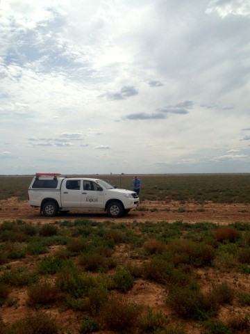
We have recently completed a project to map floodplain ecosystems across the Condamine-Balonne and Barwon-Darling River systems of north-west NSW. Information about the distribution of 60+ riverine vegetation communities and their plant species composition was established via completion of new vegetation maps compiled by Eco Logical Australia, to support the Northern Basin Review.
A total of 16,150 km2 of floodplain and wetland vegetation in the Balonne and Darling systems was mapped consistent with the NSW ‘Plant Community Type’ classification standard. In conjunction with mapping, a total of 330 full-floristic and 1,256 rapid floristic survey plots were sampled across the floodplains, with 387 native plant species and 53 weed species recorded across the region.
Information about the type, location and extent of floodplain and wetland vegetation communities and their watering regimes is important in the management of floodplain systems that deliver significant agricultural and environmental benefits throughout the Murray Darling Basin, and this projects adds to the information base.
The full technical report is available on the Murray-Darling Basin Authority website