State-of-the-art technology improving ecological connectivity
Wednesday, 5 September, 2018
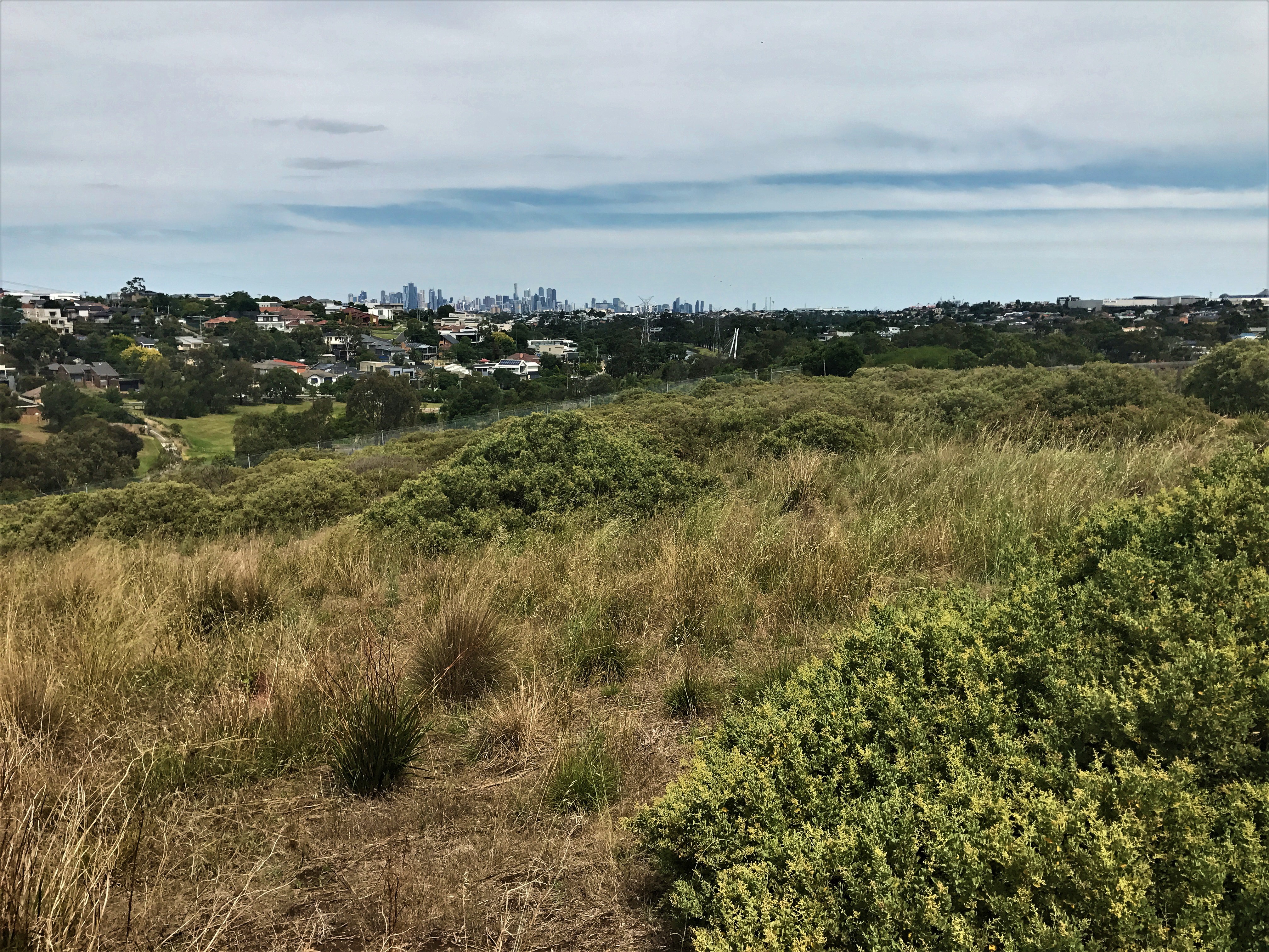
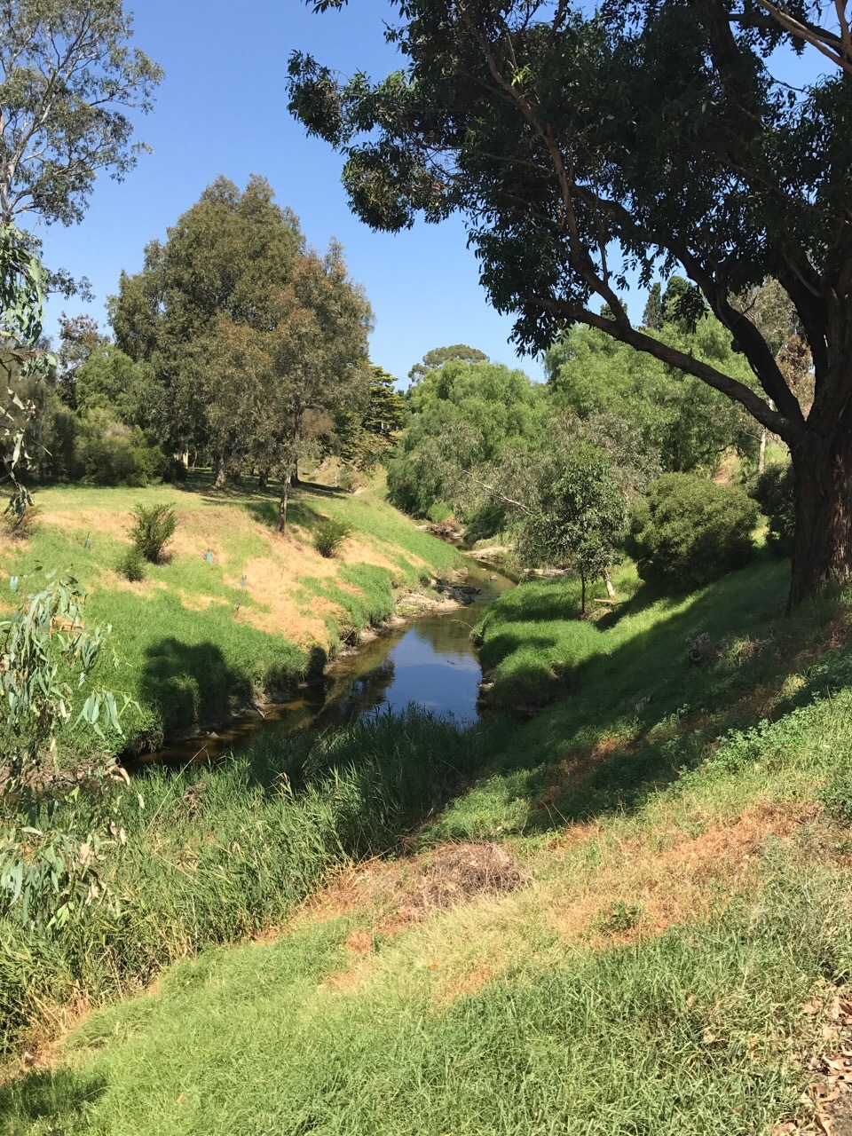
Eco Logical Australia has been assisting Moonee Valley City Council to improve ecological connectivity for wildlife in inner-city Melbourne and assess their progress towards council’s MV2040 biodiversity targets. The team has applied state-of-art data collection and modelling tools to provide a comprehensive benchmarking of biodiversity, native vegetation, and ecological connectivity across the municipality and beyond.
This multi-stage project involved:
* a comprehensive inventory of biodiversity;
* native vegetation and fauna habitat mapping;
* establishing a biodiversity monitoring program;
* fine-scale remote sensing of vegetation extent;
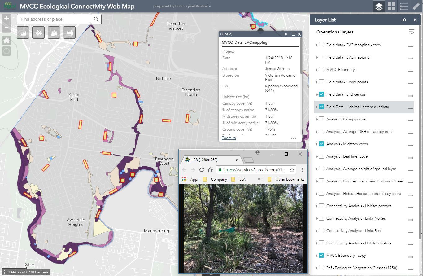
* ecological connectivity modelling using a leading-edge decision framework and modelling tools; and
* developing a strategy which identifies priorities for habitat connectivity
The project also developed an online ArcGIS webmap to successfully engage the stakeholder group and communicate project progress and products, online mapping tools for rapid and high-quality field data collection, and used cutting-edge GIS and modelling tools to map vegetation extent and identify important wildlife corridors and where to prioirtise future investment.
Moonee Valley City Council will now be able to engage in high level technical planning of fauna crossings, planting and modification of space, and incorporate these findings into their Open Space Strategy.
‘This project demonstrates the application of sophisticated technical skills to facilitate high level urban planning. It was a great for our team to demonstrate what is possible when we use this technology!’ says Dr Austin O’Malley.